Words and photos by Carli Johnson
New Zealand feels like a utopia at the edge of the world—two islands adrift in the South Pacific, thousands of miles from their nearest neighbors. Unlike many places with landscapes this wild, the country has no large land predators, no venomous snakes and few dangerous insects. The most notorious troublemaker is the mischievous weka, a chicken-like bird known for stealing unattended food from campsites.
Even though it had been a warm and dry winter, the Southern belle in me was craving a sunny vacation. The solution felt obvious: Fly south. A college friend quickly agreed, and we began planning a road trip across New Zealand’s South Island.
Getting there from Montana requires patience. Nearly 20 hours into the journey, exhaustion turned the sprawling terminals of the Sydney Airport into a blur of fluorescent lights and rolling suitcases. With one final passport scan and a visa checkmark, the last leg of the journey awaited: a short flight to Queenstown.
Sleep came in fragments as my head bumped against the airplane window. Just before descent, a flight attendant paused beside the seat and gestured toward the shuttered window.

“Trust me,” she said in a cheerful Kiwi accent. “You won’t want to miss this view.” Bleary-eyed after nearly 24 hours of travel, I lifted the shade. Sunlight flooded the cabin as the plane descended through a thick blanket of cloud.
Then the clouds began to break. Green valleys appeared first, stitched between jagged alpine peaks. Rolling hills stretched to the horizon, dotted with tiny white specks that slowly resolved into sheep. Long before European explorers arrived, the Māori people called these islands Aotearoa—”the Land of the Long White Cloud.” Looking down beneath the wing of the plane, the name felt perfectly fitting. Minutes later we touched down in Queenstown beneath the skyline of The Remarkables, a steep and rugged mountain range on the South Island.
Adventure tourism has made Queenstown famous for bungee jumping, jet boats and ski resorts. For road-trippers it serves another purpose: It’s the final outpost of big grocery stores, gear shops and gas stations before the wilderness begins.
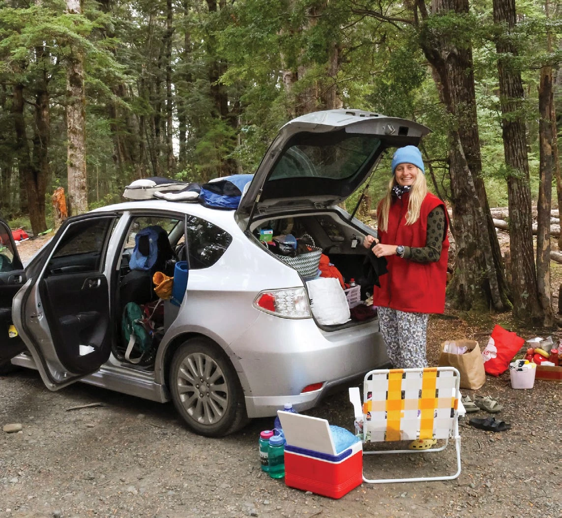
The next morning began with a quick reality check in driving on the left side of the road. The car hugged the shoreline of Lake Wakatipu, a lightning-bolt-shaped lake carved by ancient glaciers and surrounded by steep cliffs. The Southland unfolded slowly.
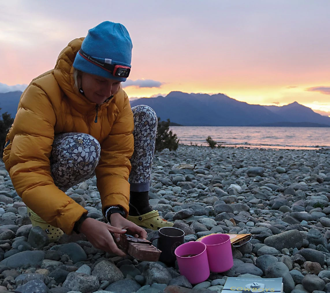
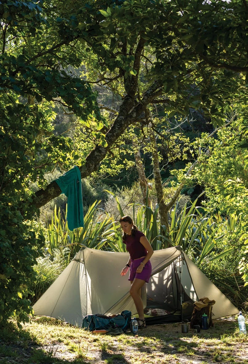
By evening we reached Henry Creek Campsite on the shores of Lake Te Anau. Much of New Zealand’s public land camping is managed by the Department of Conservation, with simple lakeside sites costing about $10-15 NZD (roughly $6-$9 USD) per person. Our backpackers bolognese simmered on a small stove as the sunset painted the mountains pink and violet across the lake.
Into Fiordland
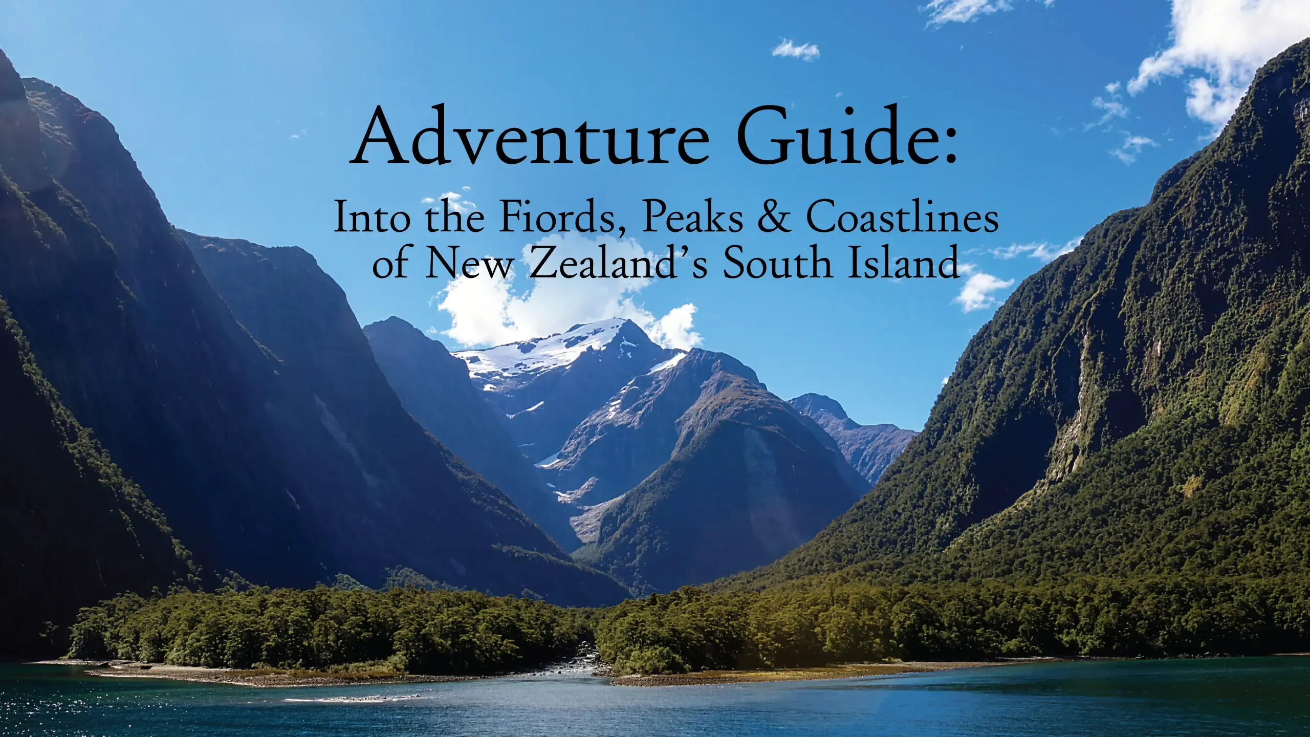
The next morning we drove into Fiordland National Park. Covering 1.2 million hectares, the park was established as part of Te Wahipounamu World Heritage Area in the 1990s. It means “place of the greenstone” in Māori. The dramatic glacial landscape, home to hundreds of the world’s most active glaciers, felt almost prehistoric.
We planned two excursions for the day: hike Gertrude’s Saddle and make it to our boat tour through Milford Sound. To get to the saddle, we crossed a boulder-filled riverbed, then climbed steep granite slabs that occasionally required scrambling on hands and feet. Finally we were rewarded with a sweeping view into Milford Sound. We scrambled back down the mountain and made it to the car with barely enough time to drive the curving pass to meet our boat tour.
Despite its name, Milford Sound is actually a fiord, carved by glaciers rather than rivers. The landscape is striking, with cliffs rising more than 3,200 feet above the sea and waterfalls cascading down every surface after rainfall. With up to 23 feet of rain each year, Fiordland ranks among the wettest places on Earth.
The boat carried us beneath towering fiord walls while seals lounged on rocky outcrops and mist drifted down from Mitre Peak, one of the tallest sea cliffs in the world.
The Southern Alps
After a long drive back north and a quick resupply in Queenstown, we turned toward Aoraki/Mount Cook National Park. We found a free, dispersed campsite where we could car camp for the next two nights as we explored the park. On the way there we drove alongside Lake Pukaki, whose surreal turquoise color comes from glacial flour suspended in the water.
At the trailhead, low clouds hid Aoraki/Mount Cook, the tallest peak in the country at 12,218 feet. Still, we continued climbing up the Sealy Tarns Track toward it. Aptly nicknamed the “Stairway to Heaven,” the trail climbs more than 2,000 wooden steps to a sweeping alpine viewpoint. On this day the reward was rain, fog, and a lesson in New Zealand weather: It changes constantly.
Eventually the clouds parted just long enough for a sunny patch of grass, a quick peanut butter and jelly sandwich, and a well-timed nap before returning to camp.

North to the Sea
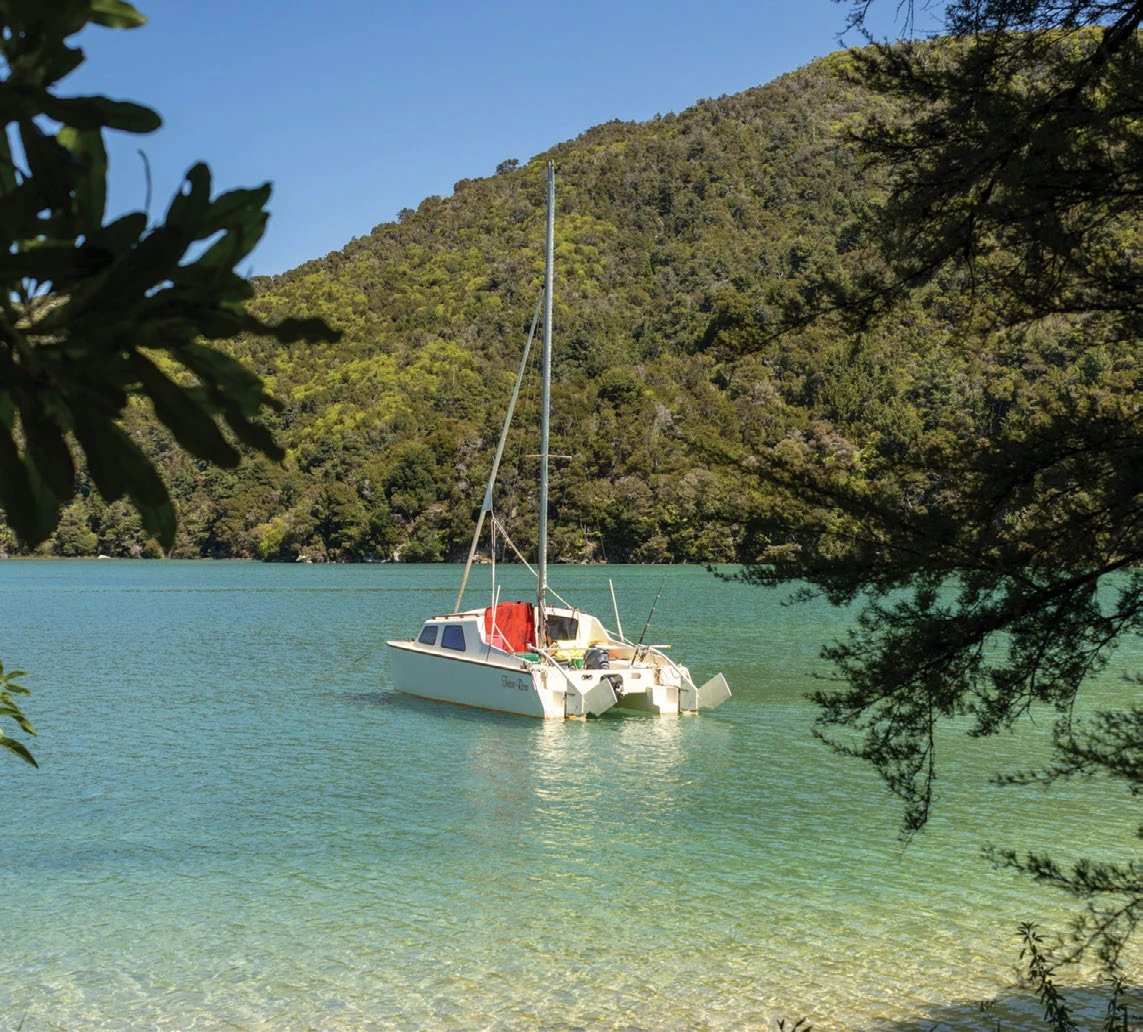
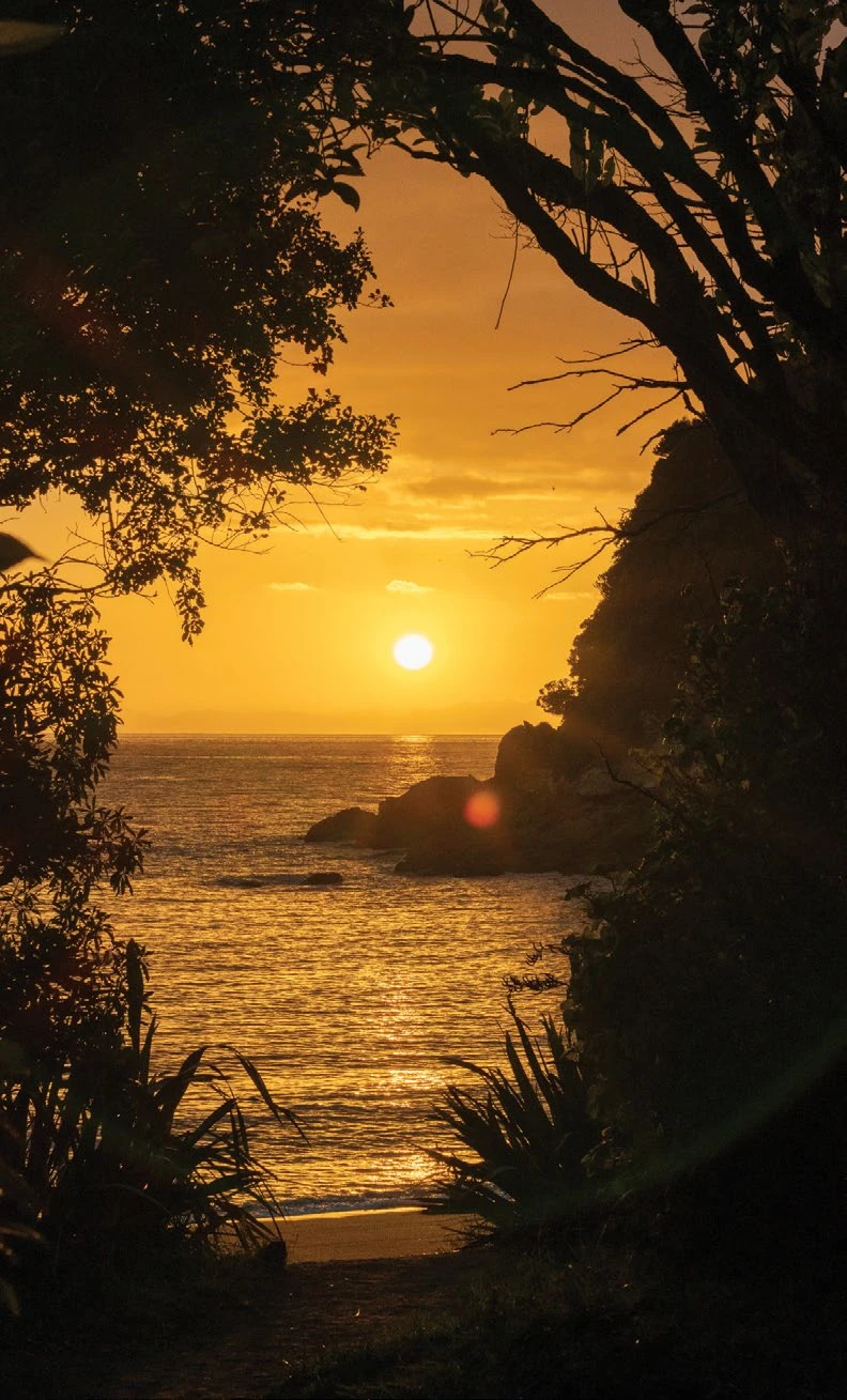
We continued our journey north through the Southern Alps to the quiet valley town of Murchison, where a tiny bunkhouse at Riverside Holiday Park provided an unexpectedly luxurious night off the ground. From there we drove the winding road west toward the Tasman Sea and the tiny coastal village of Mārahau, gateway to Abel Tasman National Park. Golden beaches and rainforest trails define this corner of the country. A water taxi dropped us at Bark Bay, one stop along the nearly 40-mile Abel Tasman Coast Track. We wandered the trail along forested cliffs and hidden coves where turquoise water meets soft sand. To one side stretches the Tasman Sea; on the other, dense coastal rainforest is threaded with freshwater streams.
Few places capture the wild beauty of New Zealand quite like Abel Tasman with mountains that dissolve into ocean.
The Long Way Back
Rather than returning inland immediately, we continued along the South Island’s rugged West Coast. Over two days the highway weaved through rainforest valleys, past windswept beaches, and beneath towering cliffs before eventually crossing the Southern Alps once more. Our final destination: Wānaka.
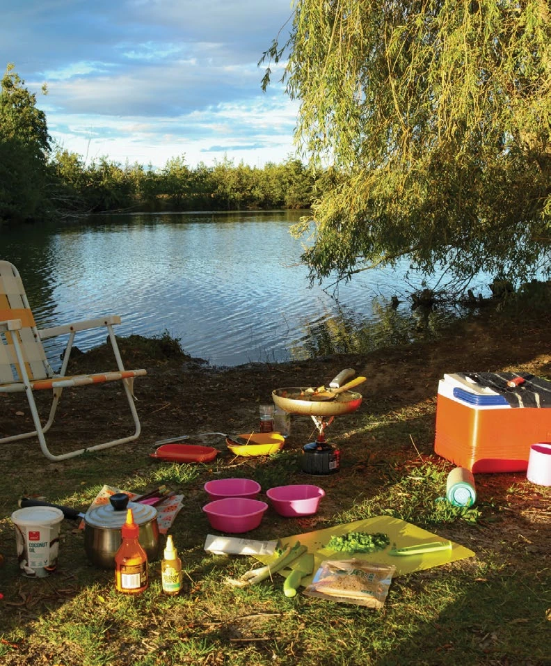
The last day unfolded quietly with a hike, a swim in the river and the realization that the road trip had nearly come full circle. From above, the South Island had first appeared through long white clouds, and now, from the ground, we could see those same mountains, lakes, and rivers. Now, they felt more tangible, but still surreal.
New Zealand had delivered exactly what I needed with its sun-warmed air, impossibly blue water and dramatic landscapes. Around every bend in the road a new view awaited, making the flight attendant’s advice on that long plane ride feel like a promise fulfilled. The view truly was remarkable.
Before You Go
What to Pack
- The weather changes fast so it’s best to be prepared for everything.
- Light/medium puffer coat: Even in the summer months, it can get cold at night. Bring long sleeves and leggings or warm pants for camping at night.
- Raincoat/rain gear: Storms roll in and out seemingly without much warning, especially on the trail.
Best Time of Year to Go
- December through February is peak summer, equivalent to the Northern Hemisphere’s July through September.
- This is also their busiest season; if you are looking to backpack and book huts you will want to plan with at least six months’ lead time.
- Huts/campsites can all be booked online through the Department of Conservation. We were going for the cheapest campsites with minimal amenities, and it cost around $10-$20 NZD per person for each individual site.
Must-Do Hikes/Sites
- Fiordlands and Milford Sound: Try Gertrude’s Saddle for a half-day hike, Routeburn Track for a full day of hiking or backpacking, or a boat tour through Milford Sound. Rain or shine, coasting through the Milford Sound is otherworldly.
- Aoraki/Mt. Cook: Visit Sealy Tarns for a half-day hike and panoramic views. Hooker Valley Track is great for a half-day hike into a view of the Mueller Glacier.
- Abel Tasman Coast Track: Whether you are out there for a day hike or backpacking, this trail is stunning and offers both tranquil beaches and freshwater streams for great summertime swimming.
Other Notes
- Book your flight early and give yourself time to plan; the flight is the most expensive part.
- Take more time if you have it: Two weeks was enough for just a taste of what this country has to offer but left me wanting more.
- The currency conversion fluctuates but it currently sits at $0.60 NZD is equivalent to $1 USD. The USD goes a long way.
Carli Johnson is a writer and photographer based in Bozeman, chasing adventure wherever the wind blows her. She currently works full-time as a staff writer for Explore Big Sky and prioritizes time on the trail with her dog or on rivers with friends.